Healthy waters are the foundation of human health, biodiversity and climate resilience.
We are convinced: the better we understand waters, the earlier and more effectively we can protect them.

Understand waters better.
In-situ
monitoring.
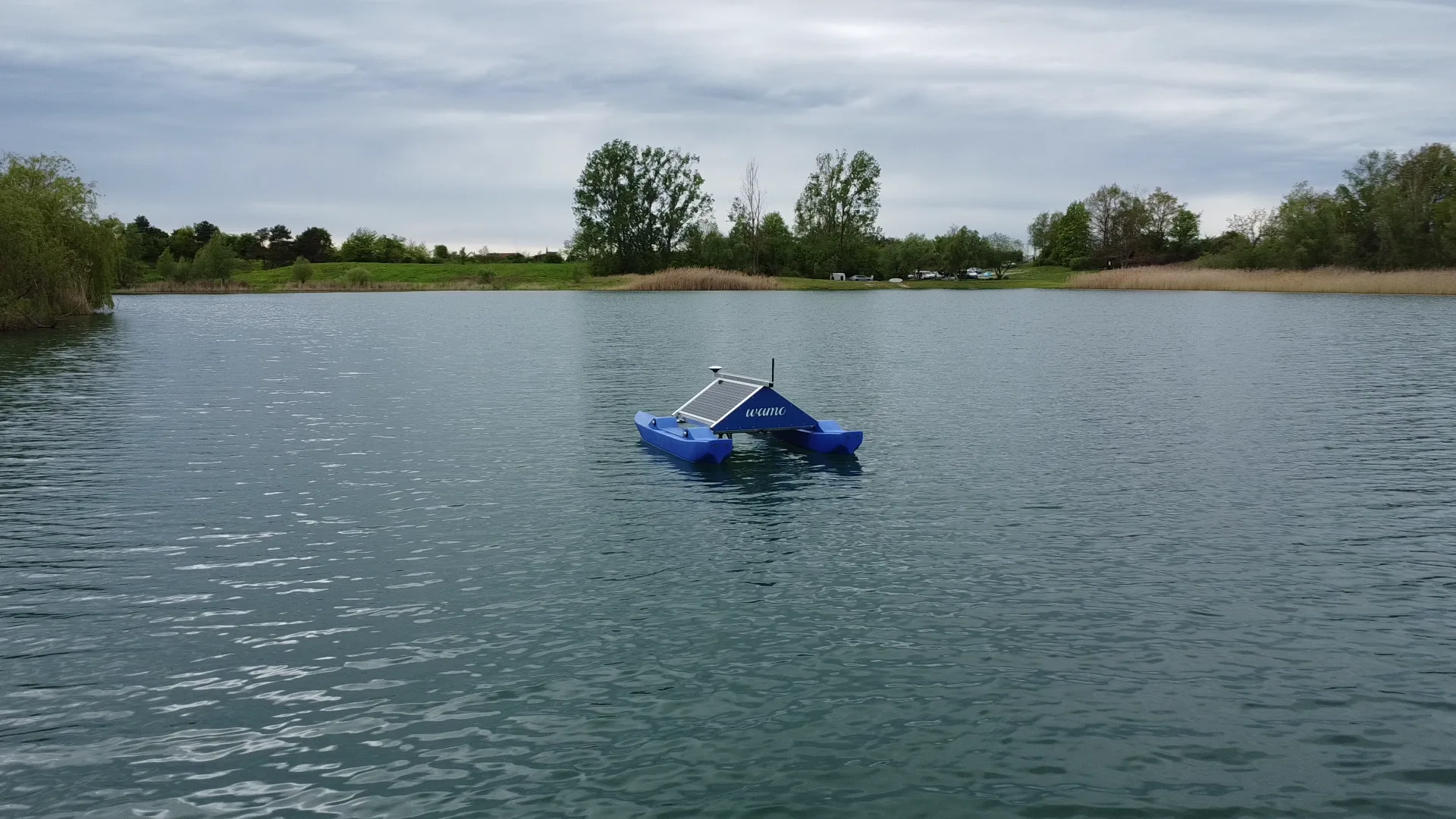
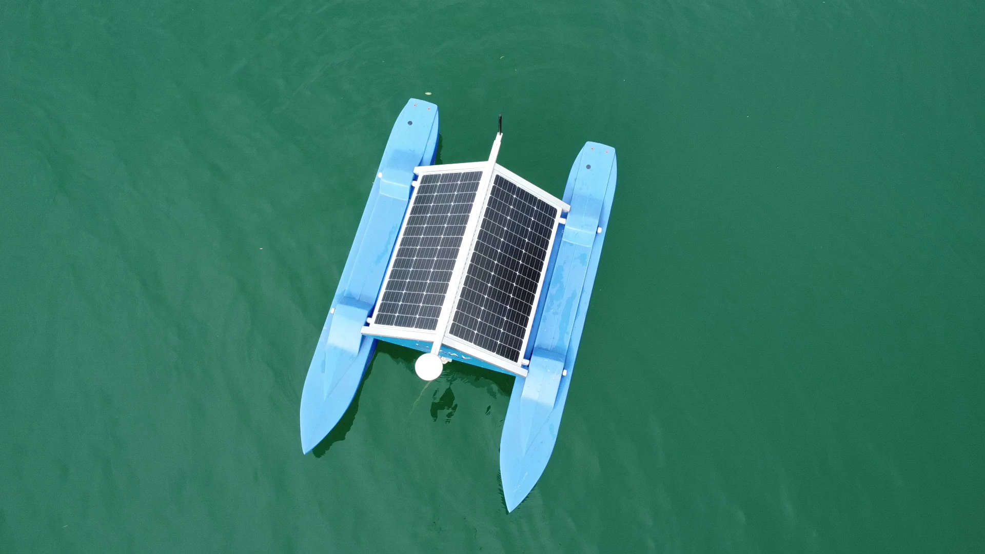
Solar-powered, autonomous sensor stations for lakes, rivers and reservoirs. Multi-parameter measurement from oxygen to chlorophyll, automatic alerts and optional active measures.
Explore WAMO →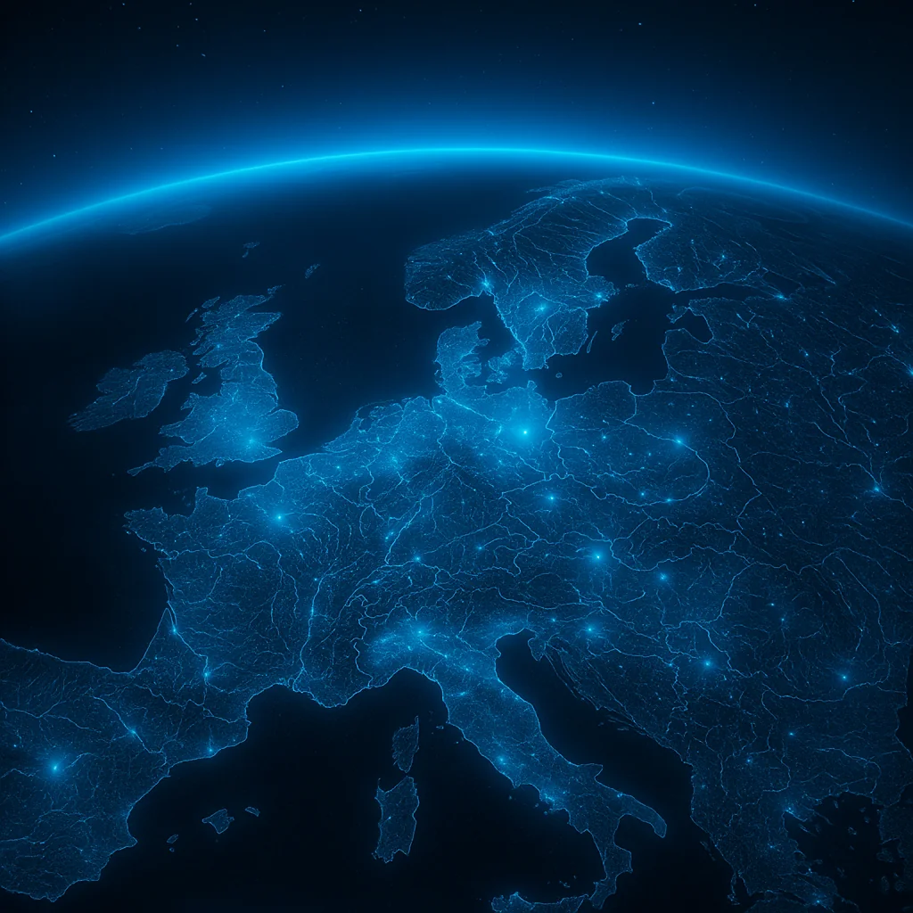
Water
intelligence.
Satellite time series, in-situ measurement networks, historical archives and official data in one consistent picture. We connect what used to sit apart – so that water bodies become understandable as a system.
Explore SWIM →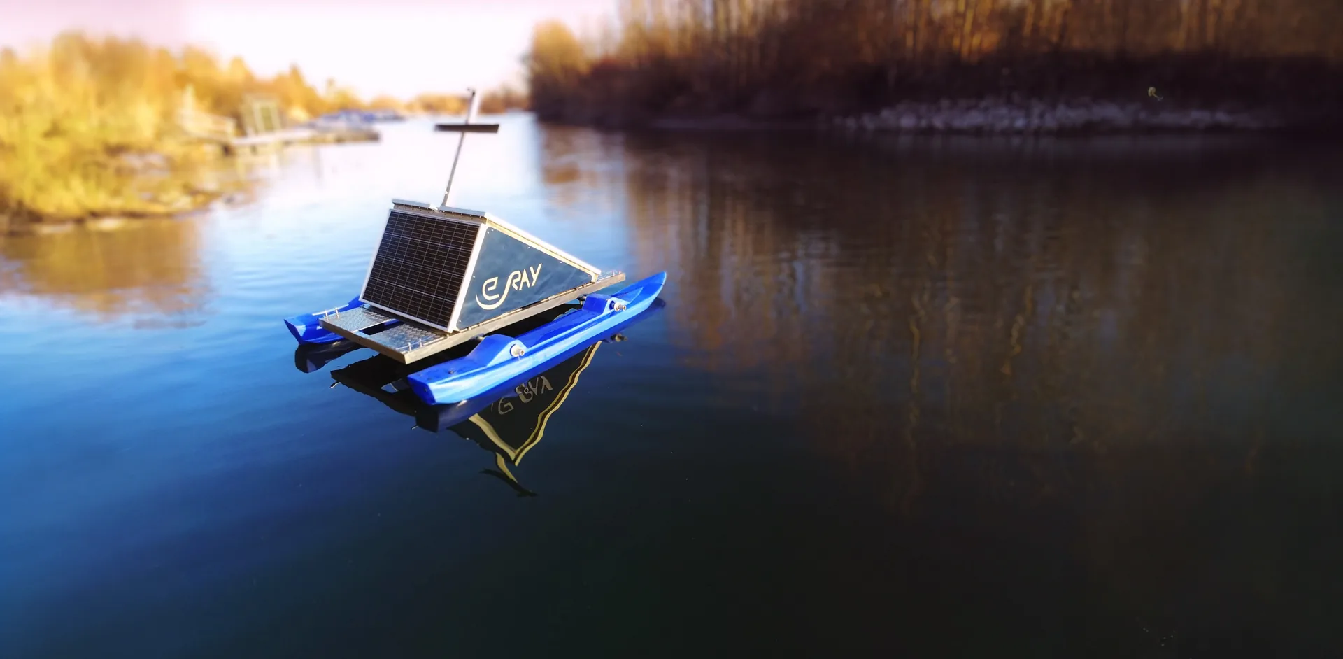
Monitoring
& MRV.
Measuring, reporting, verifying: the methodological framework that turns readings into robust reports and well-founded decisions.
Explore monitoring & MRV →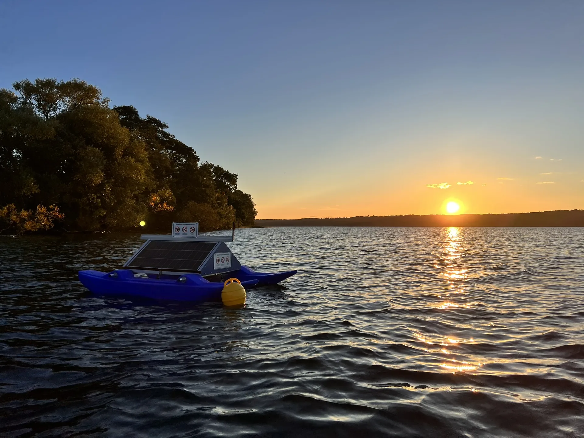
From measurement
to action.
Distilled from limnological practice: 18 proven ways to keep a lake from tipping – from deep-water aeration to phosphate binding.
Explore measures catalogue →The inauguration at Tollensesee,
on regional television.
The broadcaster neueins covered the inauguration. Tollensesee is the first of 21 stations in the meer.zukunft.seen project.
View press reports →No big words.
Running projects.
Two pieces of evidence that the system works in continuous operation – on the shore and from orbit.
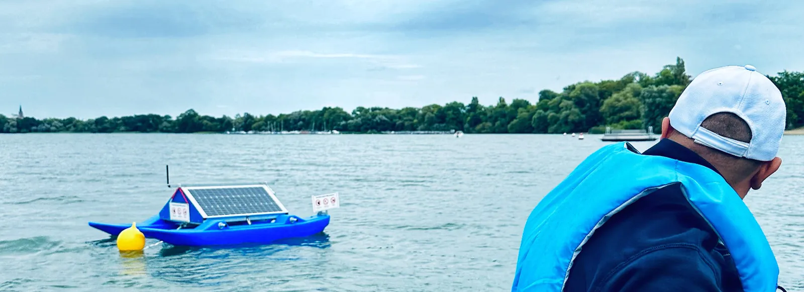
21 WAMOs on the
lake district network.
21 WAMO measurement stations supply the districts of Mecklenburgische Seenplatte and Vorpommern-Greifswald with continuous water data all year round – hourly instead of every four to six weeks.
Read the project →
Reading waters
from space.
SWIM analyses satellite data from the EU Copernicus programme and makes the condition of water bodies visible across entire areas – including where no station is installed, and retrospectively over decades.
Explore SWIM →Understanding water.
Day to day and in an emergency.
A measuring point that only waits for a flood stands idle most of the time. Day to day, the same station gives you water levels, dry spells and operating data – and in an emergency a situational picture that is not being used for the first time.
Water level, oxygen and temperature are recorded continuously – as a basis for maintenance, management and record-keeping.
Solar and battery instead of a mains connection, several transmission paths instead of one. Measurement continues when power and mobile networks fail.
Every alert is documented with trigger, timestamp, recipient and acknowledgement – still traceable months later.
What is used every day has also been tested when it matters. Assessing the situation and deciding what follows remain with the competent authority – we supply the data behind it.
Your water body deserves
a clear picture.
A free trial analysis for your catchment, or a demo unit for one season – we find the right entry point.
From the water,
from orbit.
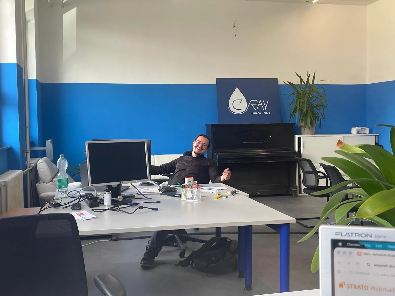
New Spaces in Darmstadt
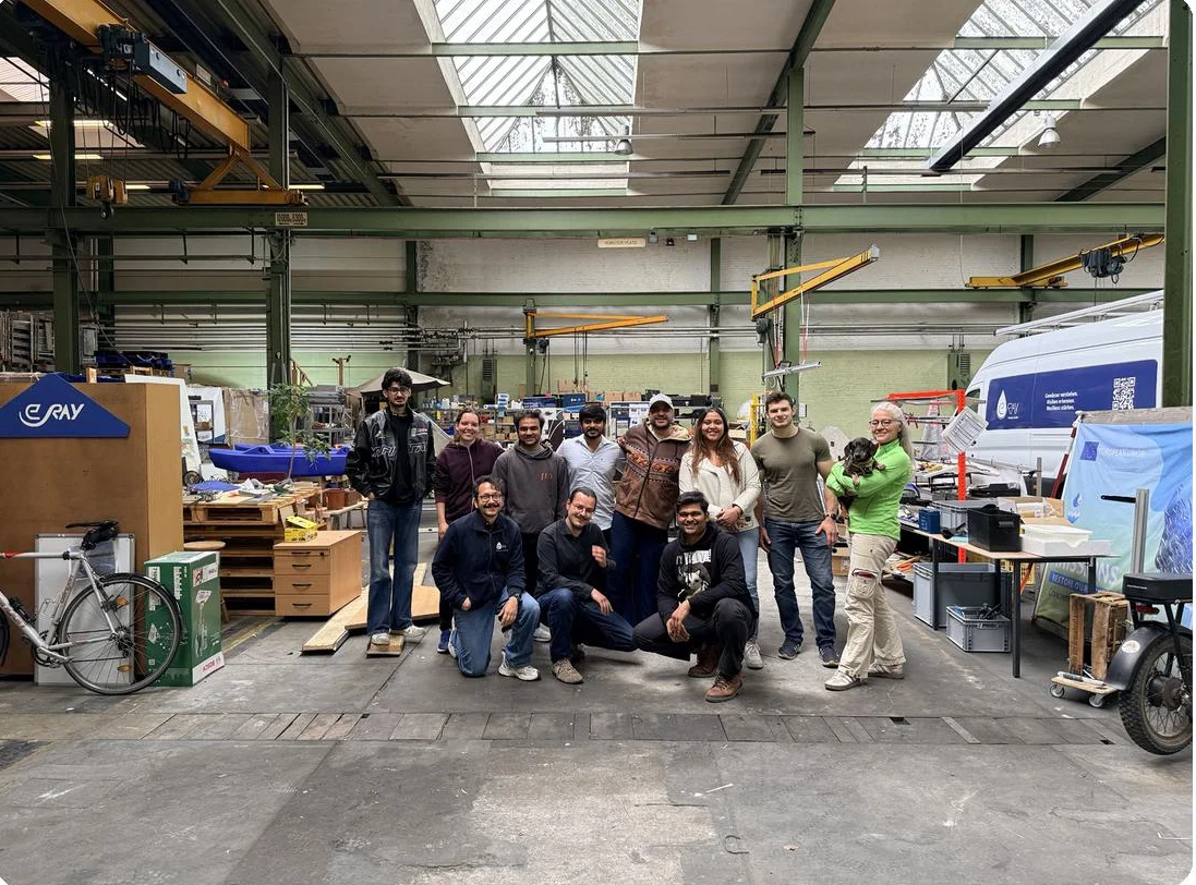
300 m² at the central station: two offices, workshop, hall and a water biotope field for research. A walkthrough in eleven images.
2 min read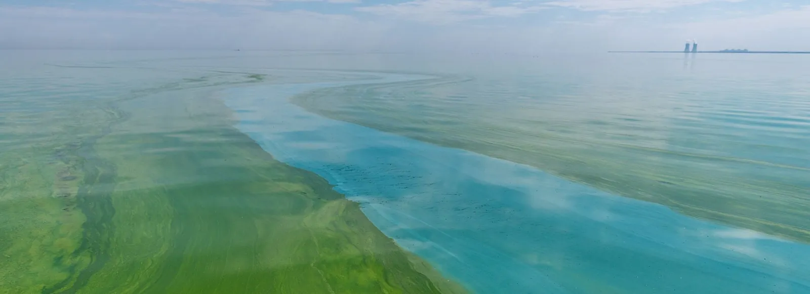
How a Lake Tips – four stages, one cascade
Eutrophication does not run linearly. An interactive cross-section shows what happens between oligotrophic and hypertrophic – and why response comes too late once the lake has tipped.
6 min read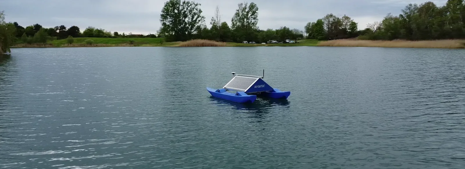
“What is not measured cannot be managed”
A limnologist on the new pressures on our waters – and why the tools of the 1970s are no longer enough today.
5 min read