Operate water bodies safely. Detect risks earlier. Demonstrate impact.
Water associations and operators are responsible for functioning water bodies, retention basins and water management facilities. At the same time, the demands are rising: more frequent extreme events, ageing infrastructure, scarce specialist staff, higher documentation obligations and limited budgets.
e.Ray combines continuous measurement data, robust communications and water intelligence into a reliable basis for decisions – for day-to-day operations, for a flood event and for evidence that holds up with public authorities, members and funding bodies.
Operation, safety and evidence requirements demand more than staff and budget can deliver – for water associations, special-purpose associations and operators of dams, storage reservoirs and retention basins.
More frequent extreme events meet ageing infrastructure.
Scarce specialist staff alongside rising documentation obligations.
Limited budgets have to be justified to members and supervisory bodies.
From water-body maintenance to intelligent operations
Water-body maintenance today means more than keeping flow paths clear. Measures have to combine ecological requirements, flood protection, facility operation and cost-effectiveness.
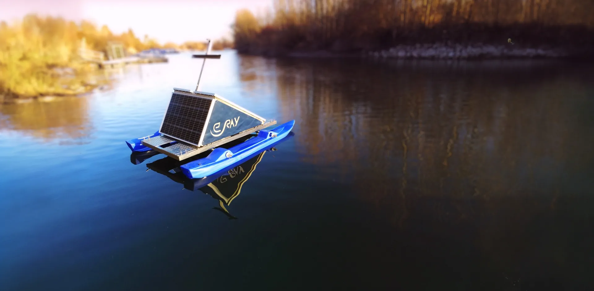
With WAMO and the e.Ray data platform, relevant developments become continuously visible:
- Water levels, inflows and discharge dynamics
- Precipitation and local heavy-rain events
- Temperature, oxygen, turbidity and further water quality parameters
- Operating states and critical thresholds
- Changes in defined water body zones and retention areas
- Events, measures and their effect over time
This creates a shared data basis for operations, maintenance, planning and reporting.
Managing retention basins with foresight
How much retention volume is actually available? How is the inflow developing? When does something need to be checked, prepared or acted upon?
e.Ray helps operators to bring measurement points, precipitation data, water levels and simple hydrological models together in one shared interface.
This yields concrete decision support for:
- assessing the available storage volume
- preparing for heavy rain and flooding
- prioritising retention basins and critical facilities
- documenting operational decisions
- coordinating between the control centre, operating staff and emergency services
- evaluating an event afterwards
Responsibility for control remains with the operator. e.Ray creates the data and information basis for faster, more traceable decisions.
Staying able to act when communication becomes critical
In a flood event in particular, information must not depend on a single transmission path.
Depending on site and risk profile, we develop communication concepts with local data storage, automatic retransmission and transmission paths that can be combined. Measurement stations, existing gauges, external data sources and control centres can be integrated into one shared system.
Current information thus remains available for as long as possible – even during network failures, power outages or at facilities that are hard to reach.
Evidence from day-to-day operations instead of additional documentation work
Depending on task and facility, water associations and operators have to meet different requirements: from water-body maintenance and facility monitoring through permit conditions under water law to self-monitoring, risk analysis and documentation.
e.Ray helps to build the necessary data basis in a structured way:
- continuous time series with plausibility checks
- threshold and event logs
- documented inspections and measures
- before-and-after comparisons
- map-based assignment to facilities and water body zones
- exportable reports for supervisory authorities, committees and project partners
We see ourselves as a data and evaluation partner. Exactly which evidence is required is worked out together, based on permits, state law, operator obligations and project requirements.
Making maintenance costs transparent and justifying investments
Digital data alone does not yet finance water-body maintenance. It can, however, show where costs arise, which measures are necessary and what benefit they create.
Our MAV/MRV approach combines measurement, evaluation and verifiable impact:
Record the starting situation
Water body condition, risks, operating effort and existing retention capacities are documented as a solid baseline.
Track measures
Maintenance, restoration, retention and operational measures are recorded in space and time.
Assess impact
Changes in water quality, discharge, storage volume, operational effort or risk reduction are evaluated in a traceable way.
Attribute costs and benefits
Data helps to justify priorities, to record avoided inspection trips and emergency measures, and to present the benefit for members, areas or facilities more transparently.
This creates a better basis for financial plans, association levies, investment decisions and funding applications.
Supporting funded projects from the initial idea to proof of impact
Many funding programmes do not support ordinary ongoing maintenance, but additional investment, climate adaptation, restoration, flood preparedness, digitalisation or innovative pilot projects. This is precisely where a clear distinction matters.
e.Ray supports water associations and operators with:
- developing a fundable project approach
- defining measurable objectives and indicators
- planning the measurement network, data platform and evaluation
- drawing up baseline and impact scenarios
- the technical description for funding applications and tenders
- ongoing project documentation
- interim reports and statements on the use of funds
- transferring successful pilot projects into regular operation
For nature-based solutions, the data may in time also provide a basis for climate finance. This includes baselines, robust before-and-after comparisons and model-based statements on the water-carbon cycle. Funding or certification does not, however, follow automatically from the monitoring; it requires a suitable programme or a recognised methodology.
A system that grows with the tasks
The starting point can be a few critical measurement points or a single retention basin. Existing sensors and data sources are integrated wherever possible. The system can then be extended step by step to further facilities, water body sections and use cases.
In this way the dashboard develops from a monitoring tool into a control centre for water management operations.
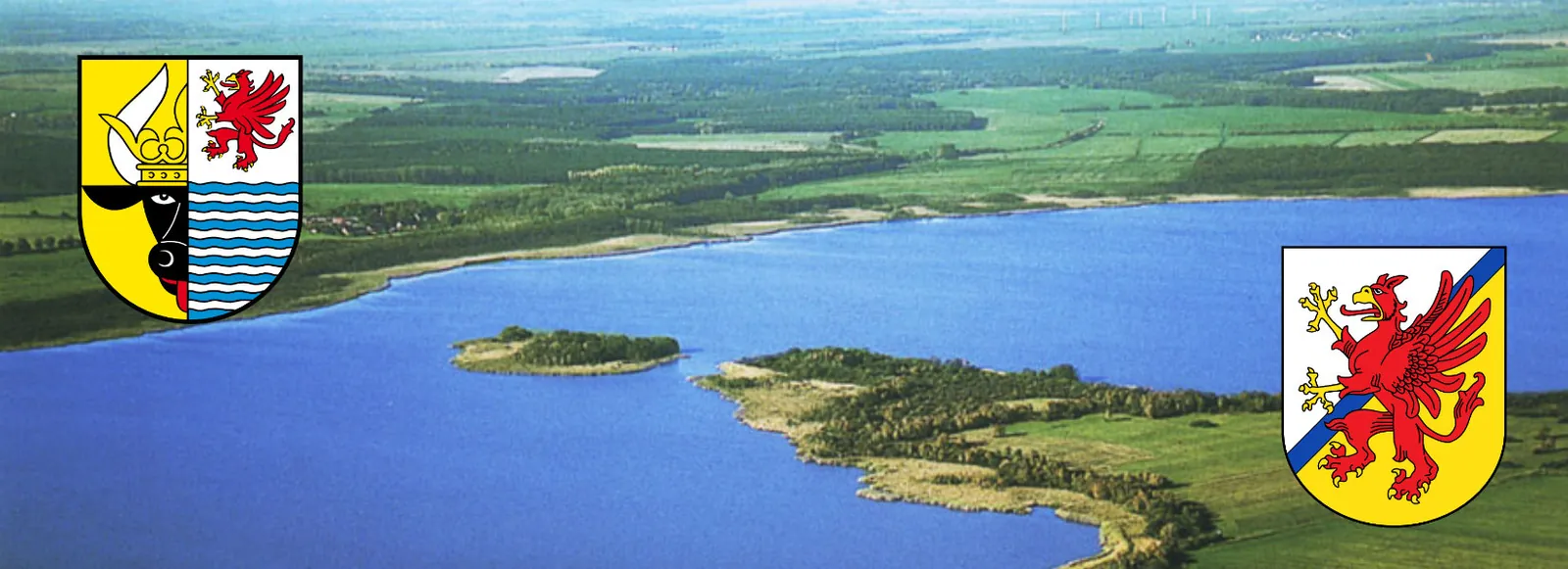
20 WAMOs in area monitoring
Mecklenburg Lake District
Area-wide monitoring across many lakes: the same sensors, the same evaluation, one shared data set for everyone involved.
The safe choice for the public sector.
Frequently asked questions
Can this be integrated into existing systems?
Data can be exported and fed into existing workflows; we will discuss specific integrations with you.
Does this scale across many water bodies?
Yes – area-wide monitoring is designed for exactly that.
How reliable is the data?
Readings carry a QC rating; anomalies are flagged.
Measure. Understand. Decide. Verify.
Understand waters better – Waters in Balance.
