

On site in the water body
Measurement stations, active support and self-sufficient infrastructure – developed and built in Darmstadt.
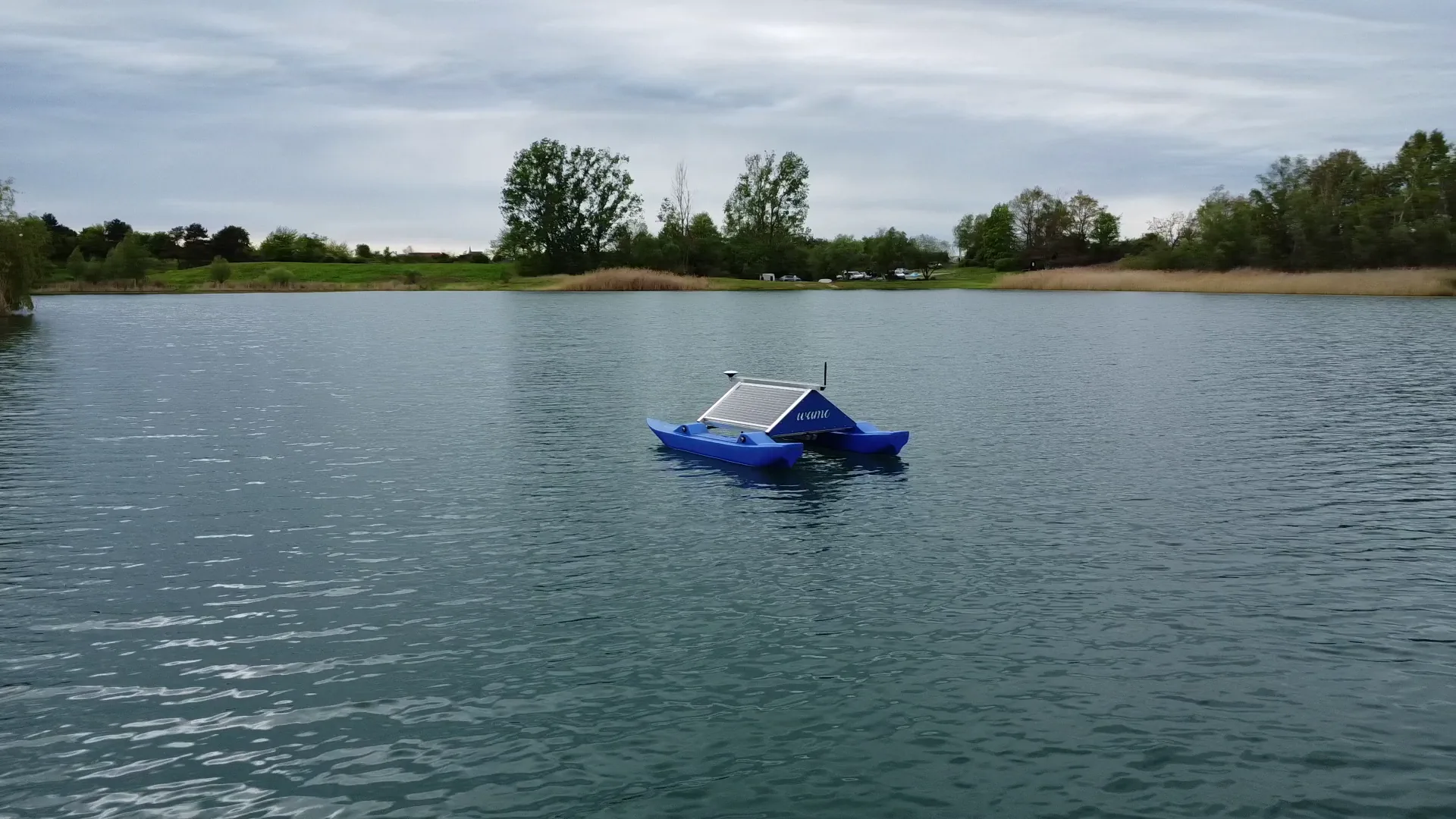
Water monitoring with WAMO
WAMO 220 and WAMO 600 record water quality and water level directly on site and make changes continuously visible.
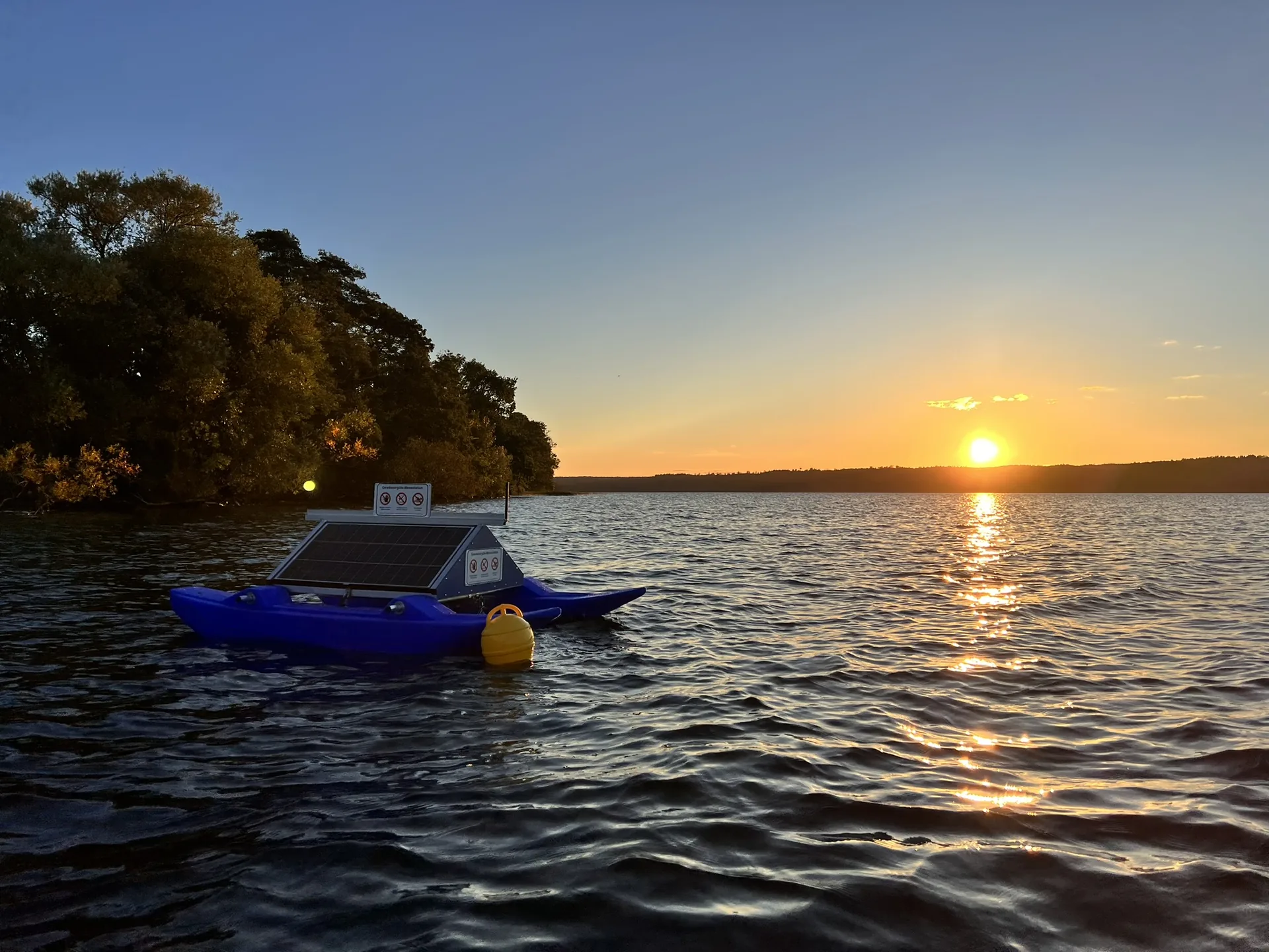
Actively supporting water bodies
WAMO Active extends monitoring with an intervention in the water body itself: near-bed aeration that introduces oxygen where it is lacking.
To water-body restoration →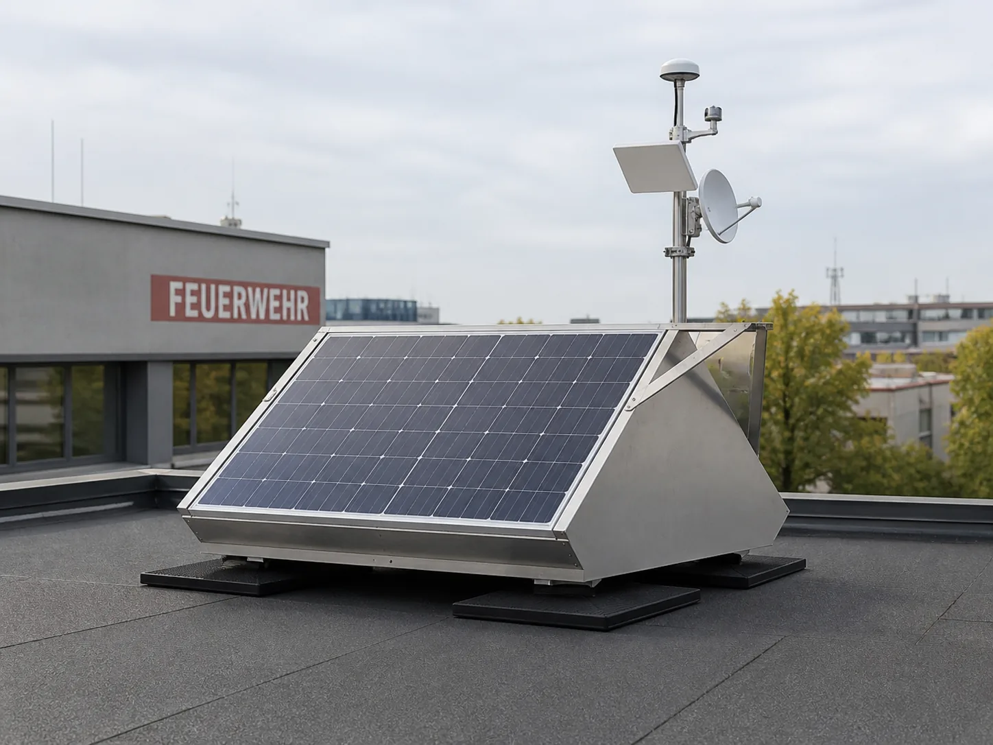
Resilient base stations
Resilience hubs secure power, communication and data transmission – even during storms, floods or grid failure.
View resilience hub →Data, maps and Earth observation
From reading to situational picture – in the browser and from orbit.
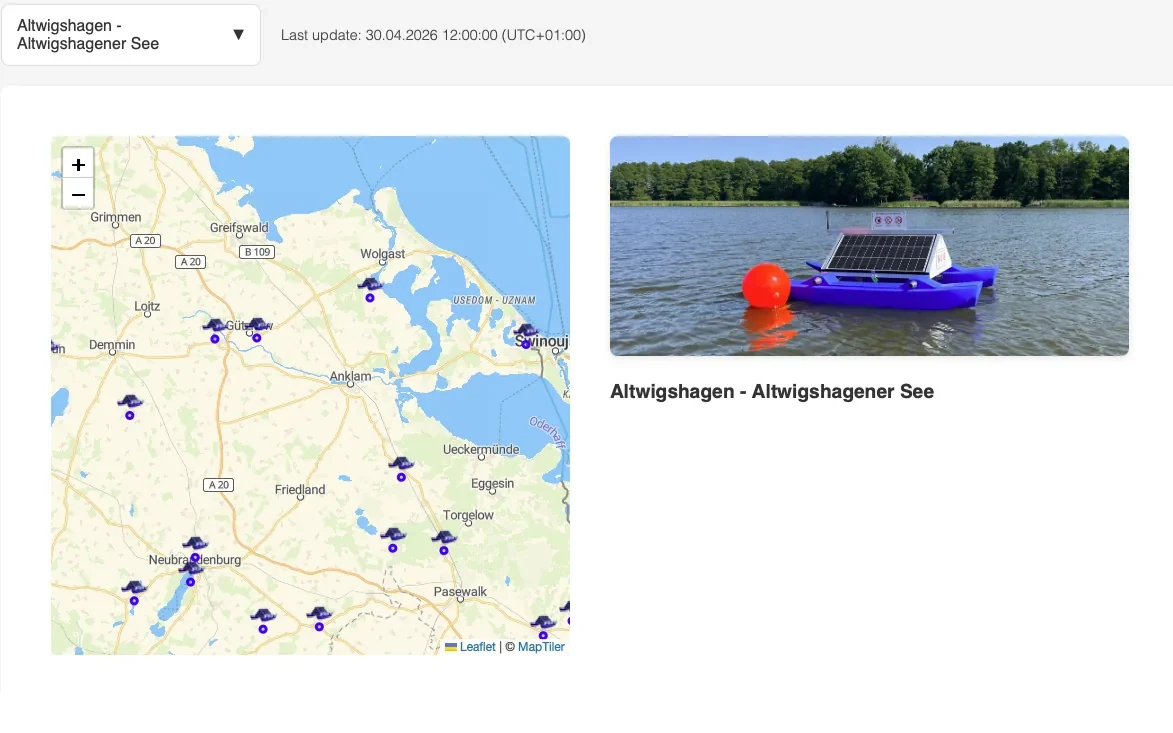
Water data at a glance
Dashboards and web products bring readings, existing data and specialist information together in clear maps, time series and situational pictures.
View dashboard →
Observing water bodies from space
Earth observation and satellite data widen the view from a single measurement point to entire water bodies, regions and catchment areas.
Discover SWIM →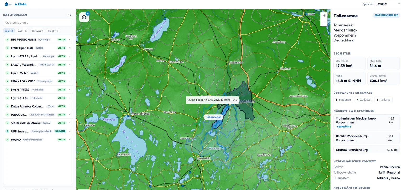
Understanding catchments. Recognising critical situations earlier.
Water levels, discharges, weather, catchment and satellite data – brought together into one shared situational picture for municipalities, public authorities and water-body operators.
View situational picture →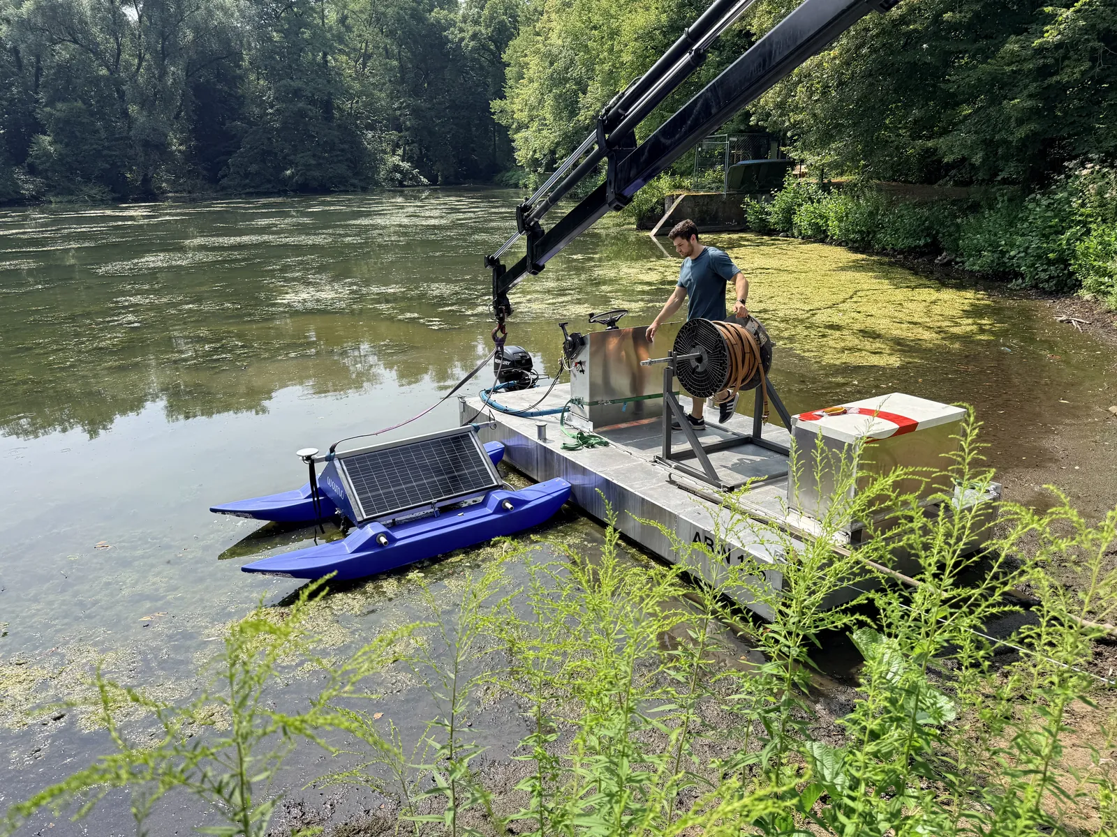
Understanding carbon. Making impact measurable.
How much does a water body emit? And what does a measure change? Today we produce model-based baselines and are developing the software to track ecological and climate effects over years.
Discover MRV →Developing solutions, connecting systems.
With consulting and system integration we develop new application concepts, integrate existing solutions and create tailored water-body networks for municipalities, public authorities and operators.
- Developing application concepts for specific questions
- Connecting existing monitoring networks, data sources and specialist systems
- Planning and building water-body networks and supporting them in operation
Measurement stations, radio network and satellite data in one situational picture.
Water levels, water quality and weather data originate in many places and in separate systems. The network brings them together, day to day and in an emergency alike.
 Enlarge
