
Floods & retention basins
Accurate water levels at key points such as retention basins provide the overview during an incident – before the situation becomes unclear.
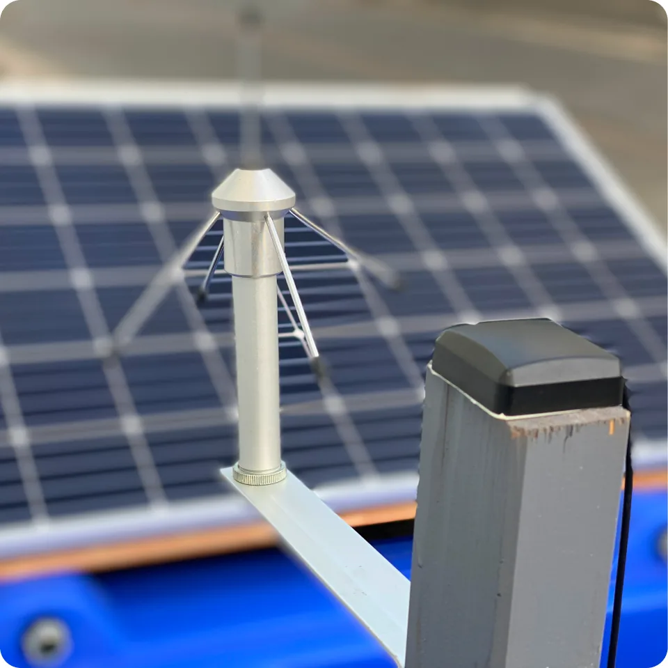
In an incident, what counts is how quickly a water-level reading reaches incident command. In a dry spell, what counts is whether anyone recorded the trend at all. The same station does both: we bring existing sources together with our own measurements and log, for every alert, who received it and when.
Gauge and measurement data are scattered across different agencies – there is no shared picture.
Floods arrive within hours, drought over weeks. Without a continuous measurement record, neither is timely nor provable.
In an incident, there is no traceable documentation for supervisory review and debriefing.
We do not forecast floods and we do not replace official warnings. Forecasting is the responsibility of the state flood information centres and the German Meteorological Service; decisions on alerting, closures or evacuation rest with the competent authority.
What we do commit to is narrower and therefore dependable: measurement continues when networks fail. The reading reaches your incident command by more than one route. And every alert is documented with trigger, timestamp, recipient and acknowledgement, still traceable months later.
Our work comes before the decision: measure, keep data available, bring sources together and provide a dependable situational picture.
On-site WAMO readings, existing gauge and weather sources and area-wide SWIM data come together in a single picture. In an incident, role-based alerts reach the right people, documented without gaps. In a dry spell, the same record serves as a trend that proves developments across months.
Sensors and existing sources are brought together into one view.
A verified overall view with history and a replay function.
Role-based, logged notification of the right agencies.
Accurate water levels at key points such as retention basins provide the overview during an incident – before the situation becomes unclear.
Communication in a disaster requires the highest possible availability: solar and battery operation keep measurement and alerting channels running.
Knowing the water level of fire-water ponds in areas that are hard to reach saves precious time when a fire breaks out – measured instead of estimated.
Falling water levels are not an event but a trend over weeks. A continuous record shows when a dry summer turns into a management problem.
Restrictions on water abstraction need a defensible basis. Recorded level trends make the order traceable – and its withdrawal just as much.
A single gauge does not explain a water system. Several stations across the catchment show whether a change is local or affects the whole system.
RTL Hessen · 3 May 2022
Television report on the pilot project at the Großer Woog, published on the e.Ray channel.
Yes. Existing gauge and weather sources run in the same view as the WAMO and SWIM readings.
The base station operates autonomously and maintains the connection even when local networks fail.
For every alert, the trigger, time, recipient and acknowledgement are recorded.
Yes. The same level measurement shows falling water levels over weeks and months. For abstraction limits, reservoir management and watercourse maintenance, the trend is what matters, not the single reading.


